
Geospatial Data Scientist
Belgium | 5+ years of experience | Hybrid & international
Turn observations from space into environmental intelligence for living water systems.
The opportunity
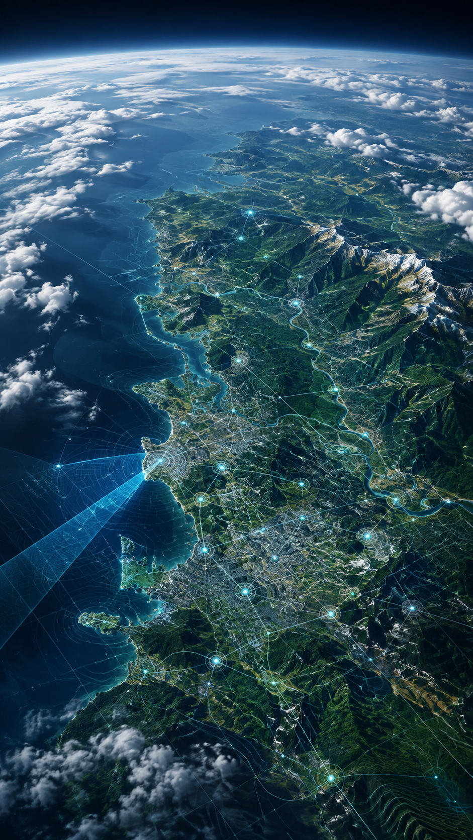
HAEDES is looking for an Earth Observation & Geospatial Data Scientist to strengthen our team in Belgium. We seek someone who can transform satellite observations into trustworthy information that supports better decisions for rivers, coasts, estuaries and oceans.
You will combine Sentinel and Copernicus products with in-situ measurements, sensor data and numerical-model outputs. Working between applied research and consultancy, you will develop indicators, data pipelines and scalable applications for environmental monitoring, forecasting and early warning. You will also help bring space-based observations more deeply into HAEDES’ digital-twin solutions and regenerative blue-economy projects.
What you will shape?
- Design reproducible workflows to acquire, preprocess, quality-control and analyse optical, radar and other Earth Observation datasets.
- Develop environmental indicators and data products for water quality, coastal change, flooding, habitat condition and other water-system applications.
- Integrate satellite, in-situ, sensor, model and geospatial datasets across different spatial and temporal scales.
- Build scalable processing pipelines and services for monitoring, forecasting, anomaly detection and early warning.
- Connect Earth Observation products with GIS platforms, geospatial databases and digital twins.
- Define validation strategies, quantify uncertainty and communicate the fitness and limitations of derived products.
- Translate complex processing methods and results into clear maps, visualisations, demonstrations and recommendations.
- Contribute to R&D proposals, client projects and partnerships while pursuing promising ideas of your own.
What you bring?
- A master’s degree or PhD in Earth Observation, remote sensing, geomatics, geography, environmental science, engineering or a closely related field.
- At least 3 years of relevant experience with Earth Observation, geospatial and/or environmental data.
- Strong scientific programming skills in Python and familiarity with C++.
- Practical knowledge of Sentinel missions, Copernicus services and commonly used Earth Observation products.
- Experience with satellite-data processing, atmospheric or geometric corrections, quality control and the generation of derived indicators.
- Strong command of raster and vector data, spatial analysis, GIS and geospatial databases.
- Experience integrating heterogeneous spatial and time-series datasets from satellite, sensor and modelling sources.
- A sound understanding of resolution, coverage, retrieval limitations, uncertainty, ground truth and validation.
- The ability to explain technical workflows and results to both specialist and non-specialist audiences.
- Professional working proficiency in English. [Confirm whether Portuguese is required or preferred.]
Additional experience we value
- Cloud-native or distributed processing of large EO datasets, including data cubes, object storage, parallel computing or scalable APIs.
- Efficient big-data architectures and formats, such as cloud-optimised rasters, multidimensional arrays, spatial indexing and catalogue standards.
- Google Earth Engine, Copernicus Data Space, openEO or comparable EO processing platforms.
- Machine learning, computer vision, data assimilation or the coupling of EO products with numerical models.
- Marine, coastal, hydrological, ecological or blue-economy applications and the co-design of tools with end users.
- DevOps, automated testing, containerisation and reproducible research or production workflows.
How you work?
You are curious enough to explore the unknown and disciplined enough to make the result dependable. You work autonomously without working alone, expose assumptions and uncertainty, and invite other disciplines and viewpoints into the process. You combine creativity with responsibility and keep learning as technologies, data sources and environmental questions evolve.
What makes HAEDES different?
HAEDES blends engineering and soul: logic with emotion, knowledge with wisdom, and process with patterns. We address root causes rather than symptoms and co-create solutions inspired by nature. Our values – nature, trust, connection, creativity, autonomy and authenticity – guide how we choose projects, work with partners and make decisions.
- A living-system organisation that adapts through co-creation, learning and distributed responsibility.
- Freedom to pioneer and pursue original ideas, paired with accountability for data quality and useful outcomes.
- Work at the intersection of water, Earth Observation, modelling, data science, climate resilience and regenerative design.
- A multidisciplinary international network and a nurturing culture with serious expertise, personal guidance and room for humour.
What we offer
- A varied role with meaningful R&D and client work, plus genuine influence on our environmental-intelligence and digital-twin capabilities.
- A flexible working rhythm: remote, office-based and on project locations, with occasional travel to Portugal and international clients.
- Remuneration aligned with your experience, skills and responsibilities.
- A personal development plan covering technical growth and self-development.
- A full time position, in the office in Wetteren (Ghent), working in hybrid mode.
Interested
Send your CV and a short motivation explaining how you have transformed Earth Observation data into useful environmental information to piet.haerens@haedes.eu. Please use the subject line ‘Earth Observation & Geospatial Data Scientist’. Applications best received before September 30th 2026.
We look forward to discovering not only what you have modelled, but how you think.